366,000+ Water bodies mapped and the mobile tools to do it well

Find places to paddle

onWater and NRS logos
Advanced mapping and terrain visualizations

Advanced mapping and terrain visualizations

Plan ahead for a more successful day on the water with digital base maps and immersive 3D views, giving you insights into access points, floats, and terrain.
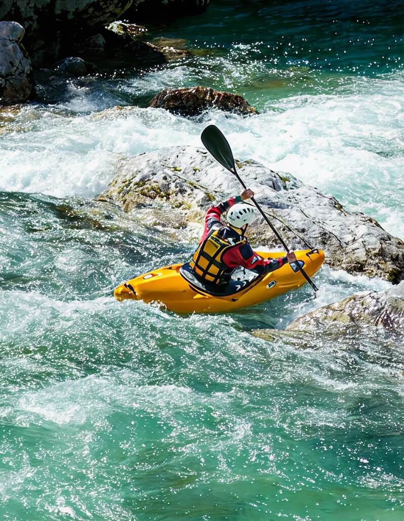
Private and public land boundaries
Live forecasting on weather and water conditions
Over 3k paddling routes in our native app

Love scouting new water? Explore our full map and save your favorites to get trip-ready.

Get on the water, faster.

PaddleWaysFree on iOS and Android

Paddleways is your personal guide to the water.

128kPaddlers worldwide
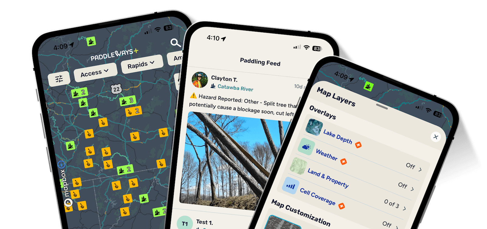
PaddleWays app: three phones showing different screens of the app

Waters near you

No nearby waters found.

46.72467N • 120.45133W

Paddle like a local,
wherever you go.

PaddleWays is built on the belief that paddling access should be available to everyone. That's why every user gets free access to launch points, boat ramps, and public property parcels.

Paddle like a local,wherever you go.

Advanced mapping and terrain visualizations

Advanced mapping and terrain visualizations

Plan ahead for a more successful day on the water with digital base maps and immersive 3D views, giving you insights into access points, floats, and terrain.
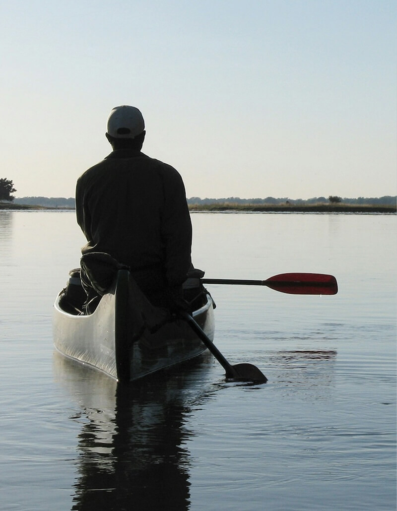
Private and public land boundaries
Live forecasting on weather and water conditions
Over 3k paddling routes in our native app

Find paddling spots worth your time

PaddleWays combines interactive maps with real-time streamflows, weather forecasts, and detailed route insights so you can make informed decisions before you even load the boats.
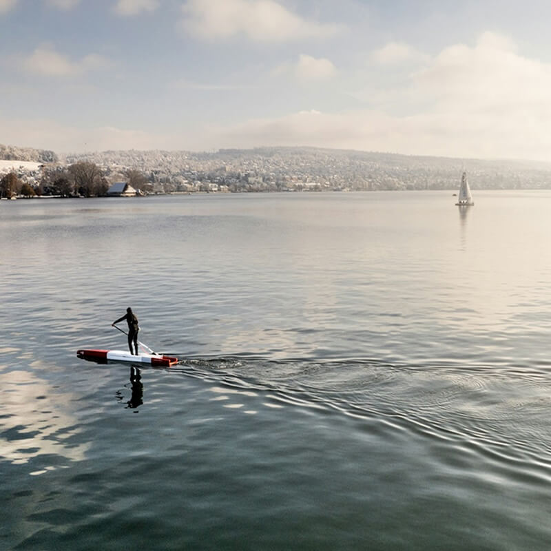
Paddler in open waters

Know conditions before you go

Maximize your efficiency with the ability to save and access private waypoints and download offline maps. Perfect for navigating waters without reception and ensuring you're always prepared.
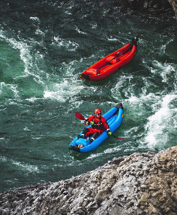
Rafter in moving waters
PADDLER
INTELLIGENCE
BY

Ask where to go, when to go, and how to paddle it. Paddler Intelligence turns what you ask into what you know, built on accuracy and privacy.

The Paddler Intelligence chat screen in the PaddleWays app

Paddle smarter with real-time insights

PaddleWays is built on the belief that paddling access should be available to everyone.

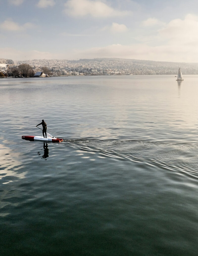
Man standing on a paddleboard on a calm lake with mountains in the background

Find paddling spots worth your time

Everything you need to paddle smarter live streamflows, weather, interactive maps, and route info in one place.

Stay on course without the signal

Download maps and check coverage before you go. PaddleWays works even when the signal doesn't.

Know conditions before you go

PaddleWays delivers real-time forecasts and map overlays so every trip is safer and better planned.

Your Pocket Guide to Paddling

For paddlers of every level. Discover new water, plan better trips, and stay safer on the river.

"Peace of mind"

I have used this app for a couple years now both on the Grande Ronde and the lower Salmon River for multi day trips and I am truly impressed with being able to track my location with no service, upcoming rapids river flows, hazards, pictures and all around great info which gives me peace of mind and allows me to know where I am at all times. Hands down the best river app out there!! Only thing I wish they would do is add more pictures and videos of the best ways to run the rapids. The only picture and info I saw was for Snow Hole with info. Other than that the best I have seen out there would highly recommend for anyone on any body of water.

Veteran to whitewater VW

"Solid app!!"

Being a new paddler this app has been awesome with helping me find spots to hop in the boat explore! Makes it super easy and practically fool proof! Keep paddlin 🤙

That_guy_biddle

"Looks and feels good"

I was really surprised to see just how few rivers are listed in the database. I understand this must be a massive undertaking adding rivers and all the info. My biggest suggestion would be to allow route creation similar to Strava. In that app, which is a similar price point for yearly subscription, it's very easy to create routes on any river in manual mode. Obviously PaddleWays will have to make their own user interface for this kind of feature. Given that there are so many bodies of water it only makes sense to allow info creation from users. I'm in TN and REALLY surprised to see the Pigeon on the map but not the Ocoee? I'm interested to see how the developers move forward with this app, but I believe most users are going to struggle to see the value in subscription unless something can happen quickly. I'm also not sure how this service can be better than using AW. Just my thoughts, would love to see where it goes!

Kevin Boater

"Essential for the Boundary Waters!"

Paddle Ways made our trip so much smoother—accurate maps, easy navigation, and super reliable offline. It took the stress out of route-finding and let us focus on enjoying the beauty of the Boundary Waters. A must-have app!

Jen01134

"Paramount paddling app"

Great info that is updated regularly. Excellent resource. Highly recommended for paddlers of all skill levels.

Qajaqjas

"Location Location Location"

With so much private land, it's sometimes difficult to find access. With Paddleways I found a sweet public launch (with a floating dock) hidden away behind a nondescript gravel parking lot. You’d never know it was there. It gave me access to some fantastic fishing areas. Worth it for that alone. Cheers!

Opabradley

"Getting Better"

I started using this when it first came out and had limited info but they've been adding a lot! Definitely more river info in the Western US now, nothing in BC or the Canadian Rockies yet for a recent trip with my packraft. Looking forward to them adding more packraft specific info including smaller waterways.

JasonintheWilderness

"Excited to see where this goes"

Hopping into the beta test for this - so if you're reading this review in the future and I haven't updated it yet, keep that in mind. I have high hopes for this app! Maybe it'll be like AllTrails for paddling. Things I think need some work currently: Needs more content. Only one route near me, but I know of so many more. The boat launch drop in/out locations should have addresses and an info page for parking, restroom access (if any), fees, photos. I'd love to see the ability for users to create their own routes. Lakes should be listed too, with boat ramp info. I SUP a lot on local lakes. It's strange to me that there isn't much of a navigation bar — I haven't paddled yet but I would hope that the app will be able to record my route, and save that in a log. It would be awesome if it had some functionality similar to Strava for cyclists where you have your own profile and can follow others, share your routes etc. Another neat feature would be something similar to Waze where users could mark hazards on the route or create comments for others like "if the water is low stay left here." Pros so far: The app is smooth. No ads are a big plus. The map is beautifully done. I like the list view option. This is an awesome concept that paddlers have needed for far too long!

RoddyMedina

"Cool Concept"

Very cool concept. I think it has the potential to be the all-in-one app for everything needed for whitewater paddling if a few things were improved. Continue to look for contributors to add data on rivers since the current data is very lacking. I'd say look to at least have what American Whitewater has in terms of data covered and then continue to add to that with local experts. Next, I find adding data is a bit difficult to scroll down and hit submit. Lastly, in order to be in the premium category, I'd maybe consider teaming up with rain pursuit to get map overlays showing accumulated rainfall. This can help for those runs that don't have a corresponding USGS gage. I think if the goal is to have this be one stop for paddlers this stuff is a must to get them to spend the money on the app. The ability for users to update will be helpful as well.

zachariahcharles

"Stoked to see where this goes!"

Update August 2025: This app rocks! Way better than Go Paddling. It's like AllTrails and onX but for paddling! I've been looking for an app that makes getting on the water easier. I'm stuck in a rut of going to the same place to paddle over and over again.

agtm1

"Peace of mind"

I have used this app for a couple years now both on the Grande Ronde and the lower Salmon River for multi day trips and I am truly impressed with being able to track my location with no service, upcoming rapids river flows, hazards, pictures and all around great info which gives me peace of mind and allows me to know where I am at all times. Hands down the best river app out there!! Only thing I wish they would do is add more pictures and videos of the best ways to run the rapids. The only picture and info I saw was for Snow Hole with info. Other than that the best I have seen out there would highly recommend for anyone on any body of water.

Veteran to whitewater VW

"Solid app!!"

Being a new paddler this app has been awesome with helping me find spots to hop in the boat explore! Makes it super easy and practically fool proof! Keep paddlin 🤙

That_guy_biddle

"Looks and feels good"

I was really surprised to see just how few rivers are listed in the database. I understand this must be a massive undertaking adding rivers and all the info. My biggest suggestion would be to allow route creation similar to Strava. In that app, which is a similar price point for yearly subscription, it's very easy to create routes on any river in manual mode. Obviously PaddleWays will have to make their own user interface for this kind of feature. Given that there are so many bodies of water it only makes sense to allow info creation from users. I'm in TN and REALLY surprised to see the Pigeon on the map but not the Ocoee? I'm interested to see how the developers move forward with this app, but I believe most users are going to struggle to see the value in subscription unless something can happen quickly. I'm also not sure how this service can be better than using AW. Just my thoughts, would love to see where it goes!

Kevin Boater

"Essential for the Boundary Waters!"

Paddle Ways made our trip so much smoother—accurate maps, easy navigation, and super reliable offline. It took the stress out of route-finding and let us focus on enjoying the beauty of the Boundary Waters. A must-have app!

Jen01134

"Paramount paddling app"

Great info that is updated regularly. Excellent resource. Highly recommended for paddlers of all skill levels.

Qajaqjas

"Location Location Location"

With so much private land, it's sometimes difficult to find access. With Paddleways I found a sweet public launch (with a floating dock) hidden away behind a nondescript gravel parking lot. You’d never know it was there. It gave me access to some fantastic fishing areas. Worth it for that alone. Cheers!

Opabradley

"Getting Better"

I started using this when it first came out and had limited info but they've been adding a lot! Definitely more river info in the Western US now, nothing in BC or the Canadian Rockies yet for a recent trip with my packraft. Looking forward to them adding more packraft specific info including smaller waterways.

JasonintheWilderness

"Excited to see where this goes"

Hopping into the beta test for this - so if you're reading this review in the future and I haven't updated it yet, keep that in mind. I have high hopes for this app! Maybe it'll be like AllTrails for paddling. Things I think need some work currently: Needs more content. Only one route near me, but I know of so many more. The boat launch drop in/out locations should have addresses and an info page for parking, restroom access (if any), fees, photos. I'd love to see the ability for users to create their own routes. Lakes should be listed too, with boat ramp info. I SUP a lot on local lakes. It's strange to me that there isn't much of a navigation bar — I haven't paddled yet but I would hope that the app will be able to record my route, and save that in a log. It would be awesome if it had some functionality similar to Strava for cyclists where you have your own profile and can follow others, share your routes etc. Another neat feature would be something similar to Waze where users could mark hazards on the route or create comments for others like "if the water is low stay left here." Pros so far: The app is smooth. No ads are a big plus. The map is beautifully done. I like the list view option. This is an awesome concept that paddlers have needed for far too long!

RoddyMedina

"Cool Concept"

Very cool concept. I think it has the potential to be the all-in-one app for everything needed for whitewater paddling if a few things were improved. Continue to look for contributors to add data on rivers since the current data is very lacking. I'd say look to at least have what American Whitewater has in terms of data covered and then continue to add to that with local experts. Next, I find adding data is a bit difficult to scroll down and hit submit. Lastly, in order to be in the premium category, I'd maybe consider teaming up with rain pursuit to get map overlays showing accumulated rainfall. This can help for those runs that don't have a corresponding USGS gage. I think if the goal is to have this be one stop for paddlers this stuff is a must to get them to spend the money on the app. The ability for users to update will be helpful as well.

zachariahcharles

"Stoked to see where this goes!"

Update August 2025: This app rocks! Way better than Go Paddling. It's like AllTrails and onX but for paddling! I've been looking for an app that makes getting on the water easier. I'm stuck in a rut of going to the same place to paddle over and over again.

agtm1

"Peace of mind"

I have used this app for a couple years now both on the Grande Ronde and the lower Salmon River for multi day trips and I am truly impressed with being able to track my location with no service, upcoming rapids river flows, hazards, pictures and all around great info which gives me peace of mind and allows me to know where I am at all times. Hands down the best river app out there!! Only thing I wish they would do is add more pictures and videos of the best ways to run the rapids. The only picture and info I saw was for Snow Hole with info. Other than that the best I have seen out there would highly recommend for anyone on any body of water.

Veteran to whitewater VW

"Solid app!!"

Being a new paddler this app has been awesome with helping me find spots to hop in the boat explore! Makes it super easy and practically fool proof! Keep paddlin 🤙

That_guy_biddle

"Looks and feels good"

I was really surprised to see just how few rivers are listed in the database. I understand this must be a massive undertaking adding rivers and all the info. My biggest suggestion would be to allow route creation similar to Strava. In that app, which is a similar price point for yearly subscription, it's very easy to create routes on any river in manual mode. Obviously PaddleWays will have to make their own user interface for this kind of feature. Given that there are so many bodies of water it only makes sense to allow info creation from users. I'm in TN and REALLY surprised to see the Pigeon on the map but not the Ocoee? I'm interested to see how the developers move forward with this app, but I believe most users are going to struggle to see the value in subscription unless something can happen quickly. I'm also not sure how this service can be better than using AW. Just my thoughts, would love to see where it goes!

Kevin Boater

"Essential for the Boundary Waters!"

Paddle Ways made our trip so much smoother—accurate maps, easy navigation, and super reliable offline. It took the stress out of route-finding and let us focus on enjoying the beauty of the Boundary Waters. A must-have app!

Jen01134

"Paramount paddling app"

Great info that is updated regularly. Excellent resource. Highly recommended for paddlers of all skill levels.

Qajaqjas

"Location Location Location"

With so much private land, it's sometimes difficult to find access. With Paddleways I found a sweet public launch (with a floating dock) hidden away behind a nondescript gravel parking lot. You’d never know it was there. It gave me access to some fantastic fishing areas. Worth it for that alone. Cheers!

Opabradley

"Getting Better"

I started using this when it first came out and had limited info but they've been adding a lot! Definitely more river info in the Western US now, nothing in BC or the Canadian Rockies yet for a recent trip with my packraft. Looking forward to them adding more packraft specific info including smaller waterways.

JasonintheWilderness

"Excited to see where this goes"

Hopping into the beta test for this - so if you're reading this review in the future and I haven't updated it yet, keep that in mind. I have high hopes for this app! Maybe it'll be like AllTrails for paddling. Things I think need some work currently: Needs more content. Only one route near me, but I know of so many more. The boat launch drop in/out locations should have addresses and an info page for parking, restroom access (if any), fees, photos. I'd love to see the ability for users to create their own routes. Lakes should be listed too, with boat ramp info. I SUP a lot on local lakes. It's strange to me that there isn't much of a navigation bar — I haven't paddled yet but I would hope that the app will be able to record my route, and save that in a log. It would be awesome if it had some functionality similar to Strava for cyclists where you have your own profile and can follow others, share your routes etc. Another neat feature would be something similar to Waze where users could mark hazards on the route or create comments for others like "if the water is low stay left here." Pros so far: The app is smooth. No ads are a big plus. The map is beautifully done. I like the list view option. This is an awesome concept that paddlers have needed for far too long!

RoddyMedina

"Cool Concept"

Very cool concept. I think it has the potential to be the all-in-one app for everything needed for whitewater paddling if a few things were improved. Continue to look for contributors to add data on rivers since the current data is very lacking. I'd say look to at least have what American Whitewater has in terms of data covered and then continue to add to that with local experts. Next, I find adding data is a bit difficult to scroll down and hit submit. Lastly, in order to be in the premium category, I'd maybe consider teaming up with rain pursuit to get map overlays showing accumulated rainfall. This can help for those runs that don't have a corresponding USGS gage. I think if the goal is to have this be one stop for paddlers this stuff is a must to get them to spend the money on the app. The ability for users to update will be helpful as well.

zachariahcharles

"Stoked to see where this goes!"

Update August 2025: This app rocks! Way better than Go Paddling. It's like AllTrails and onX but for paddling! I've been looking for an app that makes getting on the water easier. I'm stuck in a rut of going to the same place to paddle over and over again.

agtm1

Pick your plan

Start for free. Go further with PaddleWays+

Plus

For paddlers who want to paddle smarter

$49.99/yr

Only $4.16 a month

  • Everything in our Free plan, and:
  • Private property parcels
  • 3D & offline maps
  • Unlimited My Waters conditions monitoring
  • Geofenced alerts

Free

Paddling access for all

$0


  • Private Waypoints, River Miles Measuring Tool, & Private Routes
  • Trip Tracking
  • Water access, rapids & hazards
  • Live weather & streamflow data
  • Public commenting & images

Explore nearby waters

Popular paddling spots

Top paddling waters

No waters available right now.

Popular Cities

No cities available right now.

Smarter Paddling Starts in the App.

Paddleways gives you everything you need to plan smarter, paddle better, and own every trip from first launch to takeout.